Some Background on Our Project

4.59 Million Acres

This is how much land in Vermont is forested– 78% of the state’s total area, and more than four times larger than Rhode Island.

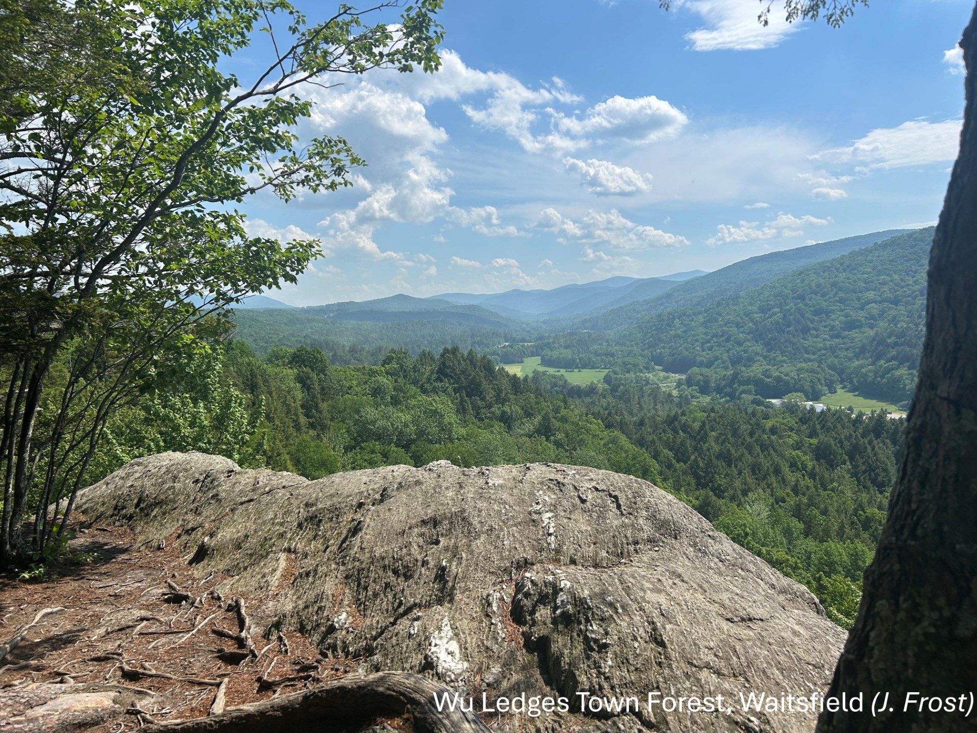
Of this, at least 67,000 acres are town or community forests– forests managed by local municipal government, as opposed to state or federal agencies, or private landowners. These forests provide valuable ecosystem services to their communities, including watershed protection, recreational spaces, and timber products, among other benefits, and their sustainable management contributes to wider conservation efforts in the state. These forests have the potential to be a model for conservation among private and state entities. However, governance, usage, accessibility, and stewardship of town forests is variable across the state, and decision-makers often lack critical information and resources that could greatly benefit their efforts.

While other projects to assist conservation management and stewardship have been undertaken in the past, including those by the Vermont Urban and Community Forestry Program, these efforts have highlighted the dearth of available information and resources for communities and towns concerned with protecting their natural resources in an era of climate uncertainty. Among the problems identified by prior outreach includes: Outdated inventories of existing town forests; lack of contact information for forest managers; and incomplete understanding of community needs.

The proposed solution to these problems and others is a census of Vermont’s town forests. As opposed to a survey, which captures a sample of data, a census aims to capture the entire population. The census will contain two components: a fixed set of general questions about the state of the forest for continuity of information, and a variable set of questions that will track contemporary issues and changes. Questions will be developed by our research team using input from our consultants and advisory committee to focus on topics of greatest relevance and importance to land managers. This information has the potential to assist forest planning, land governance, and help expand community engagement in conservation and recreation, including for historically marginalized peoples with limited access, as well as providing a quantifiable data on the benefits and value of these public resources. The list of tangible outcomes from this project includes:

  • A replicable census of town forests.
  • An updated inventory of town forests, including key contacts and locations.
  • An updated map of all town forests, with a database for public information.
  • A technical report on the economic value of town forests.

In addition to these outcomes, the data collected during research will be used to address other issues that might otherwise remain salient for conservation managers, such as increasing equity in decision-making, and fill gaps in knowledge for future research. This will include information on governance of town forests, interest in carbon markets as a potential conservation tool, the impact of the COVID-19 pandemic on forest use, and economic analysis of the ecosystem services town forests provide.


Map of Town Forests in Vermont

About our research

Methodology and research

Similar projects

  • Our project is similar in scope and focus to previous research on town forests such as that completed by the University of New Hampshire in 2018. To see the results of their project, and get an idea of what our finished project will provide, click here.
  • The Northern Forest Center conducted a study on forest governance in 2021. For their results, more information, and other case studies, click here
Skip to toolbar