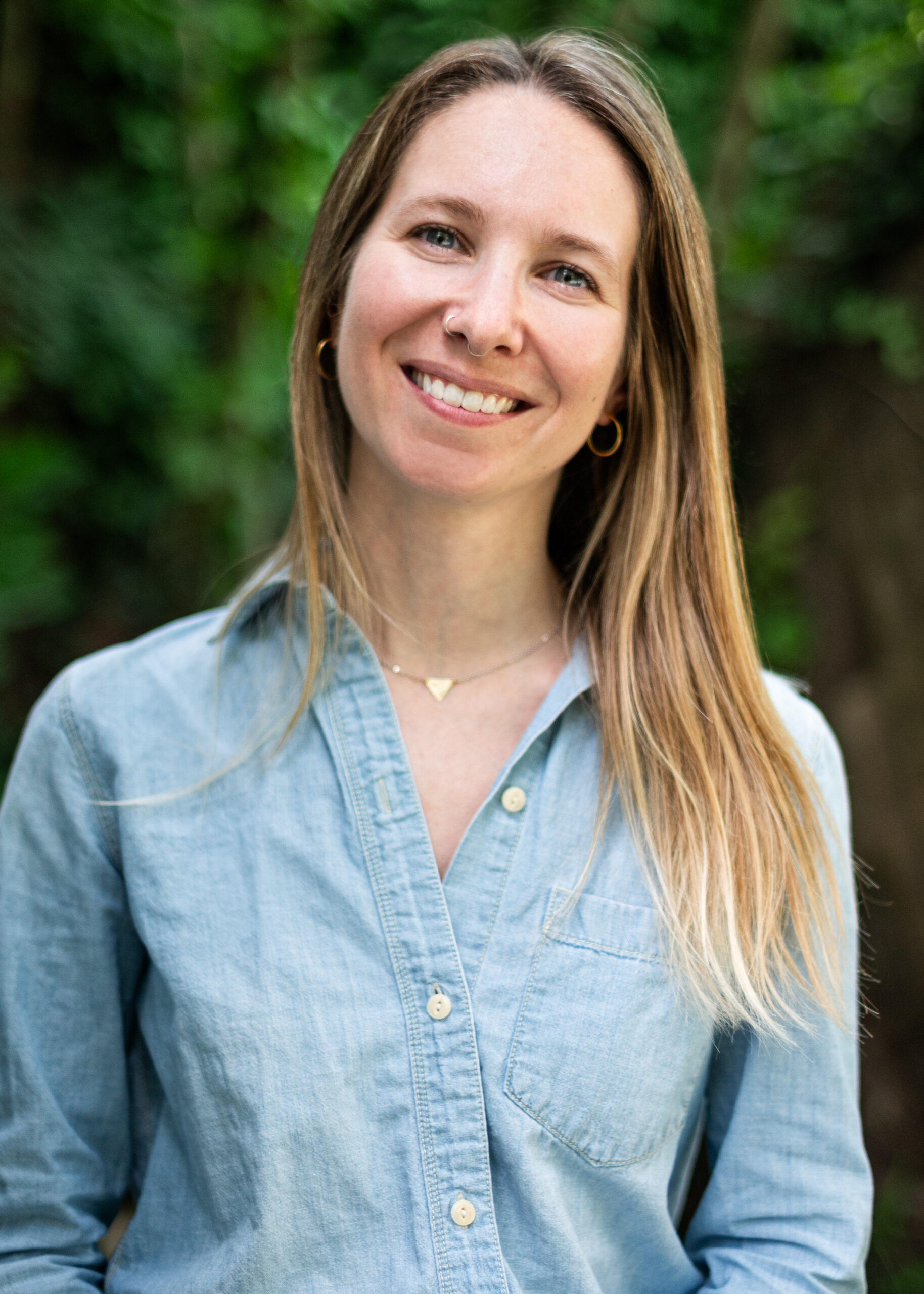
Research and Outreach Interests
Dr. Brochu is the current director of the University of Vermont Spatial Analysis Lab and research assistant professor in the Rubenstein School of Environment and Natural Resources. She is a UVM undergraduate alum and went on to gain both her Masters and PhD from Boston University School of Public Health. Her research focuses on the intersection of human health and the environment using geospatial analyses to better understand exposures and the impact to communities. Paige’s work within the lab is centered around GIS applications and translating robust science into actionable data for community resilience. When Dr. Brochu is not buried in data, you can find her mountain biking, skiing, and hiking the Green and White Mountains.
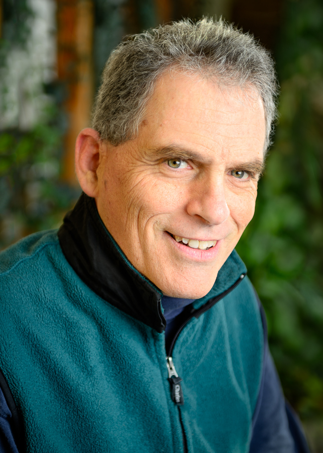
Sean MacFaden
Senior Geospatial Analyst
Sean focuses on the application of geospatial technologies to natural resources and conservation-related projects. He has used GIS and remote sensing applications in wildlife habitat mapping, biodiversity assessment, ecological reserve design, conservation lands, forest characterization, and watershed-scale analyses of pollutant loading. Most recently, he has used object-based image analysis (OBIA) techniques in conjunction with high-resolution imagery and LiDAR to map natural resources in a variety of urban and suburban settings, including multiple tree canopy assessments for cities and counties in the United States.
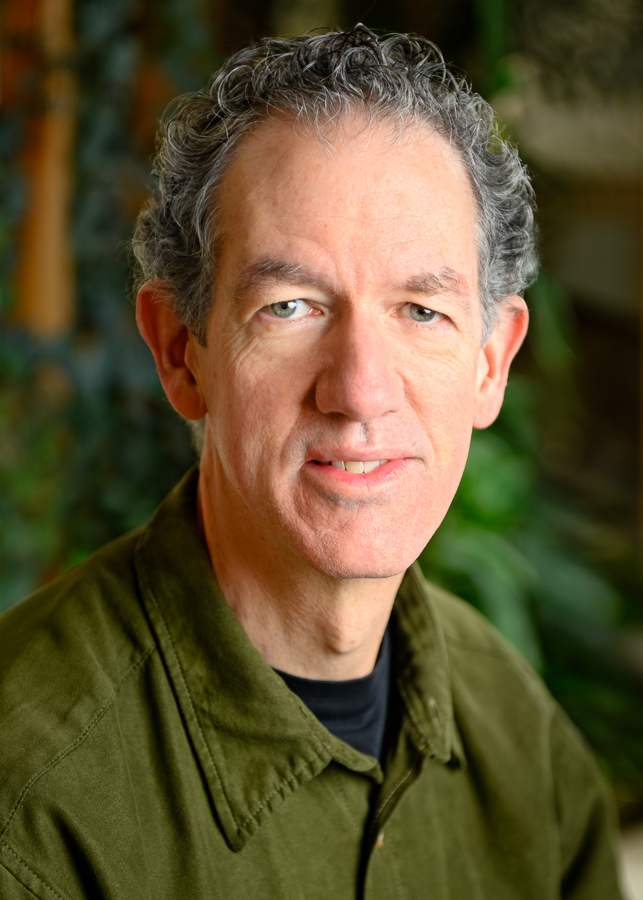
Ernie Buford
Geospatial Systems Lead
Ernie manages computer systems in the SAL and provides expertise, leadership, and training in the application of software to manage and process geospatial data on desktop and cloud computing platforms, and in the preparation of analytical summaries and geospatial data products for a wide variety of projects. A mainstay in the SAL since the early 90s, Ernie has worked on the development of tools and databases for conservation planning, wildlife habitat modeling, biodiversity assessment, land cover mapping, geoprocessing automation, web application development, wetland inventory, and avian field research. He was a technical leader on the Vermont Biodiversity Project and Gap Analysis for Vermont and New Hampshire. Ernie has also developed data, models and analytical techniques for projects investigating a variety of topics ranging from bobcat movement and habitat use to public health effects of transportation networks.
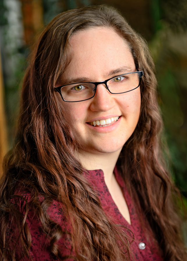
Anna Royar
GIS Technical Lead
Anna is a GIS technical specialist at the SAL. She began her work at the SAL in 2009 as a student employee while completing her Bachelor of Arts at UVM in Geography. Since that time Anna has led a team of quality control technicians in the manual review of over 100,000 square miles of geospatial data. While Anna’s primary role is supervising the quality control of land cover mapping projects, she has also worked on a variety of projects such as street tree mapping in New York City and impervious mapping in Sonoma County, CA. During Anna’s time at the SAL, the quality control team has expanded from three technicians to up to 40. She has had the pleasure of training more than 180 student and former student employees and values the SAL’s place as a starting point for many exciting careers in geospatial technologies.
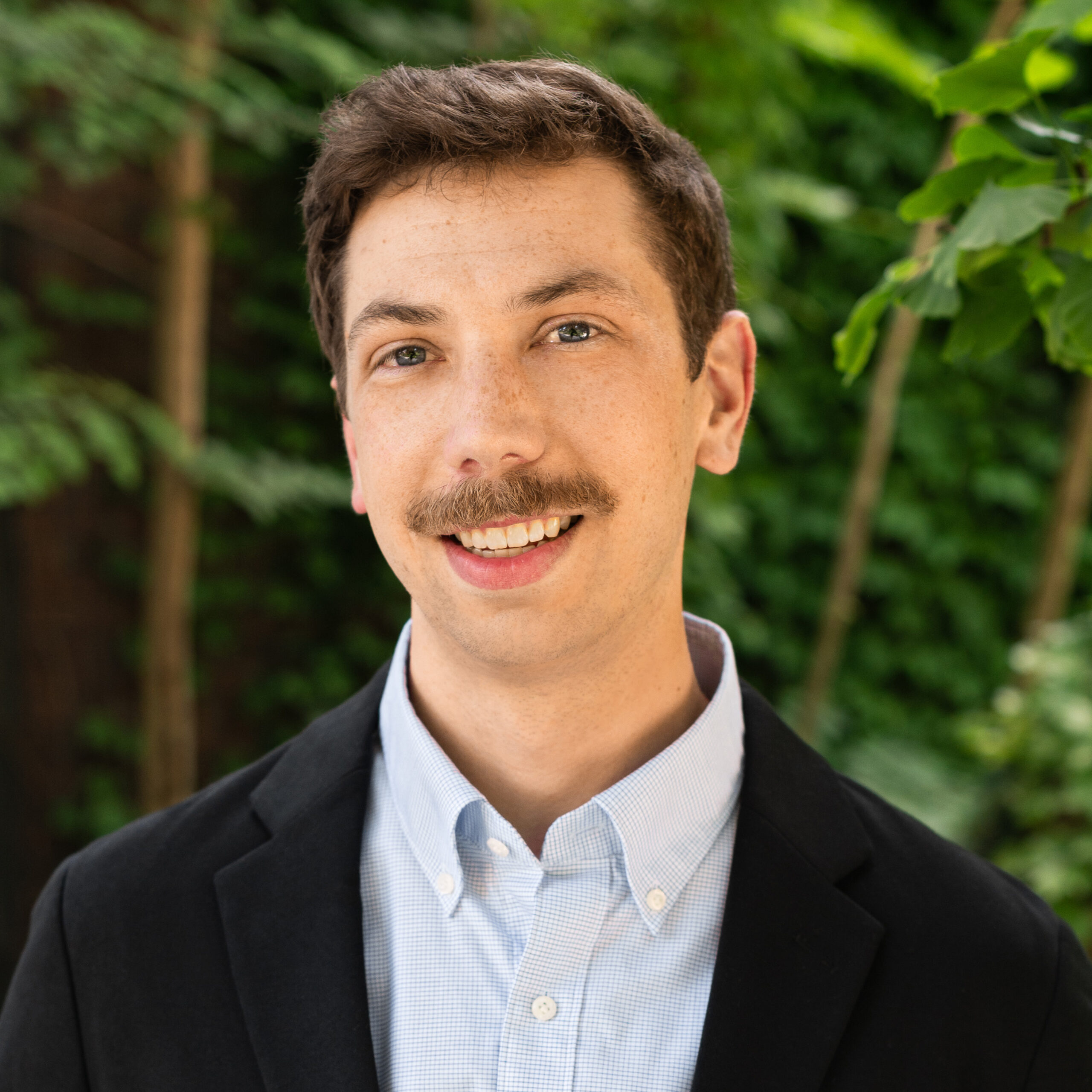
Adam Zylka
UAS Team Lead
Adam is the Assistant Director for Unoccupied Aircraft Systems (UAS), bringing together his extensive academic and industry experience in leveraging UAS technology for disaster response, conservation, engineering, and humanitarian applications. He leads UVM’s UAS Program, which has developed a national reputation for cutting-edge environmental research and applied emergency response since being established in 2013. Adam supports UVM’s core-membership in the FAA’s ASSURE research consortium and the ASSUREd Safe first responder training and credential authority.
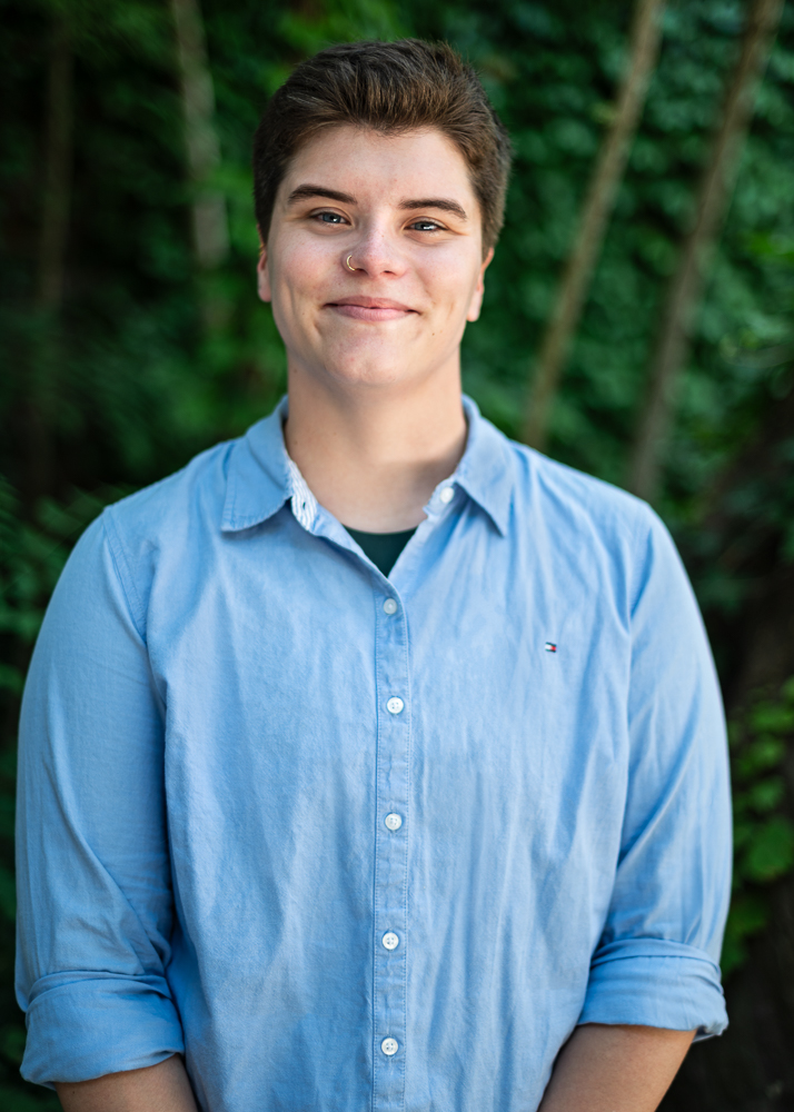
Maddy Zimmerman
UAS Specialist
Maddy Zimmerman is an Unoccupied Aircraft Systems (UAS) Specialist at the Spatial Analysis Lab (SAL). Maddy has been a licensed FAA Part 107 pilot since joining the UAS Team as an intern in 2020 and holds a B.S. in Environmental Science from UVM. In their current role, Maddy leads UAS training initiatives and course development, including ASSUREd Safe initiatives. They also contribute to ASSURE Center of Excellence (COE) research on UAS for disaster response and recovery. Maddy’s expertise includes operating many types of UAS platforms and sensors, conducting advanced flight operations, training, mentoring, data processing, and geospatial analysis.
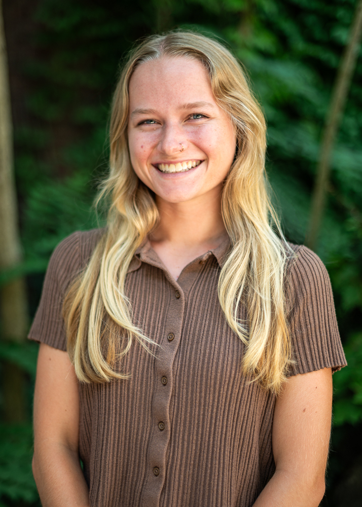
Lauren Cresanti
Senior UAS Technician
Lauren Cresanti is a member of the SAL’s Unoccupied Aircraft Systems (UAS) Team, serving as a UAS Technician. She began her work with the team as a UVM undergraduate student and after graduating with a B.S in Environmental Sciences and minor in Geospatial Technologies, she began working full time as a member of the UAS Team. Lauren is responsible for coordinating with partners and clients, flight planning for a number of platforms and sensors, leading flight operations, processing data and producing deliverables, mentoring students, and instructing workshops. Lauren has been involved in a wide range of projects including capturing critical datasets for disaster response and recovery, tracking the impact of invasive species on forest defoliation, mapping harmful algal blooms and aquatic invasives, monitoring critical landslides, and mapping farms in support of furthering the science of precision agriculture. As part of UVM’s core-member status in the FAA’s ASSURE research consortium, Lauren has also worked to develop and instruct FEMA-sponsored drone training programs for the first responder community.
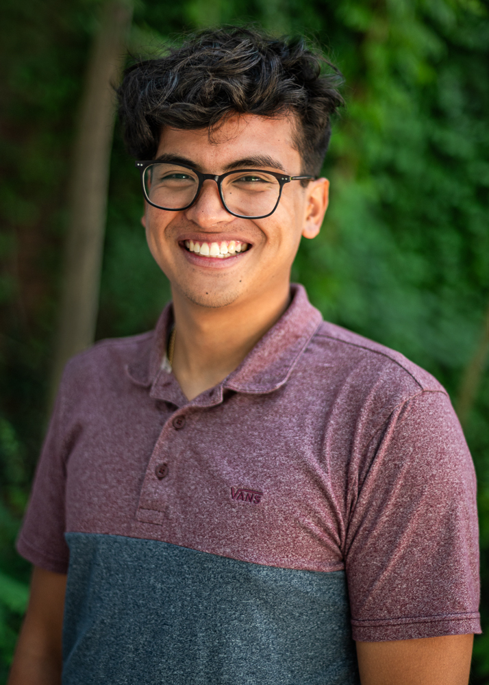
Benny Berkenkotter
Senior UAS Technician
Benny Berkenkotter is an accomplished UAS Pilot and Research Technician for the University of Vermont UAS Team. He graduated from UVM in 2023 and has a degree in Environmental Sciences with a Geospatial Technologies minor. He has worked with several multirotor and fixed-wing UAS platforms as a part of different research projects, such as landslide monitoring with the Vermont Geological Survey and VT Agency of Transportation, disaster response during the Great Vermont Flood of July 2023, mapping harmful algal blooms on Lake Champlain, and Precision Agriculture. These research projects include the use of UAS for true-color, multispectral, and thermal photogrammetry, as well as UAS LiDAR. In addition to research projects, he has also been an instructor for several UAS workshops and demos which includes FEMA UAS/Drone Training Courses, ASSUREd Safe, BHS YES, and demos with the Gund Institute.
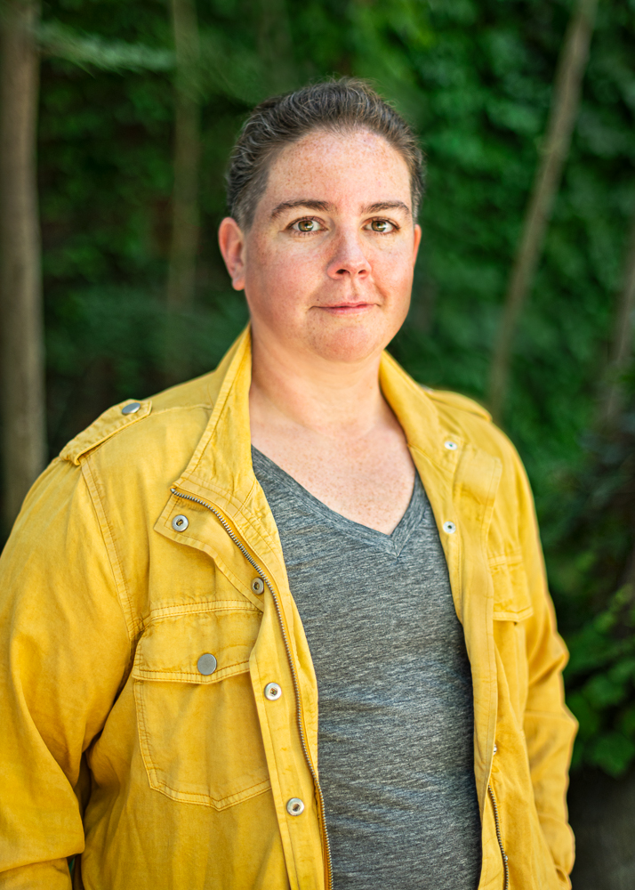
Kelly Schulze
GIS Specialist, UAS Pilot, Master Photographer
Kelly brings a wealth of experience in GIS, photography, and UAS operations. They split their duties between supervising the SAL’s undergraduate workforce and running UAS missions. Kelly has a passion for quality and works to ensure that our projects meet the highest standards. Their UAS work has ranged from mapping dry lake beds to quantifying aquatic invasive species. As a master photographer, Kelly has won numerous accolades for their work and has led instructional workshops. Their drone photography has been featured on magazine covers. Kelly brings a unique perspective to our team with their background in agriculture and animal science.
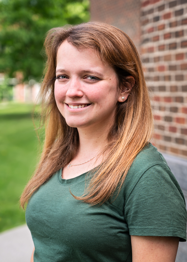
Marie Bouffard
Project Coordinator, Research Specialist
Marie came to the Spatial Analysis Laboratory (SAL) in the fall of 2021 after receiving her master’s degree from the Bren School of Environmental Science and Management at the University of California Santa Barbara. A life-long lover of nature and science, she brings a background in geospatial analysis and landscape ecology along with a passion for science communication and community engagement. Her work in the SAL focuses on the Urban Tree Canopy (UTC) assessments, providing communities with actionable data on how much tree canopy they have, how it is distributed, and how it is changing. These insights support communities in making informed and equitable decisions around managing their natural resources.
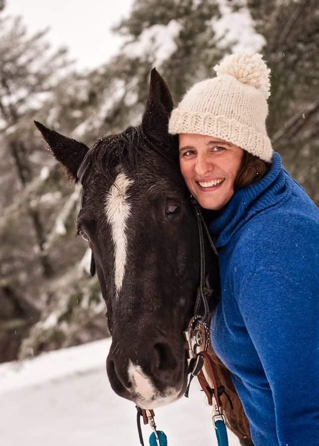
Sabrina Bateman
Business Operations Specialist
Sabrina is an alumna of UVM and joined the Spatial Analysis Laboratory (SAL) after transferring from UVM’s Residential Life department. She majored in animal science and brings years of business management and financial experience to the role of Business Operations Specialist where she assists with internal and external projects, manages grant projections and budgets, and works closely with the team to support the SAL’s continued success and growth. When not at work, she enjoys spending time with her family, being with horses, sewing, and playing video games. Her favorite season is Autumn when she can do all the things she loves.
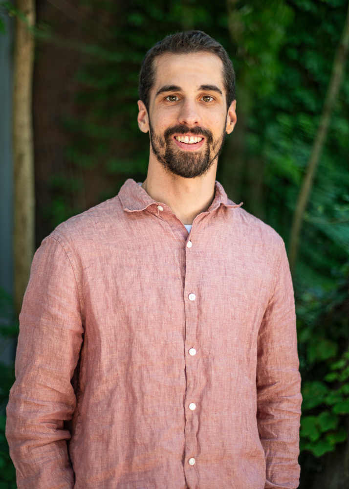
Daniel Jarrad
Senior GIS Technician, UAS Pilot
Daniel came to the SAL in 2022 while participating in the Geographic Information Systems and Data Communication professional certificate at UVM. He started as temporary technician and moved quickly to full-time staff. In addition to assisting in supervising the SAL’s student and temporary technicians, Daniel is a FAA Part 107 certified UAS pilot and works with the UAS team on a variety of projects. He also works in preparing data to be used in mapping and analyses. He has a wealth of experience with a variety of mapping projects and imagery, including small town Urban Tree Canopy assessments, regional full land cover mapping, and green roofs mapping. When not at work, he enjoys climbing, hiking, reading, and cross-country skiing.
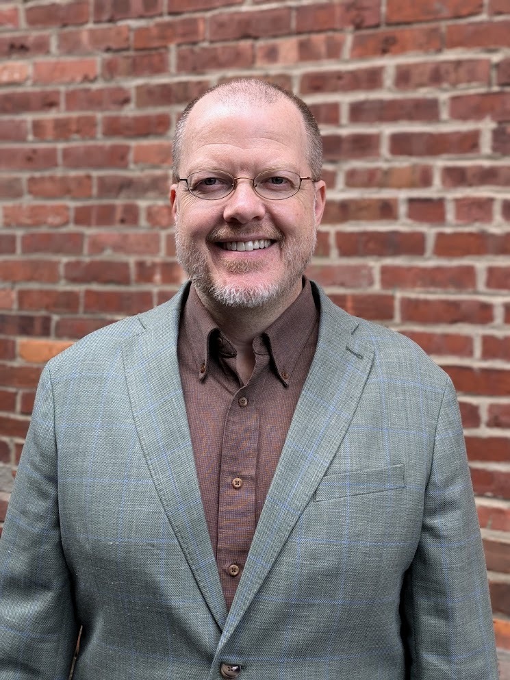
Terry Barrett
Development Team Leader
Terry Barrett is the Development Team Leader in the SAL, responsible for leading and mentoring the development of geospatial processing tools and workflows for natural-resources-related research and projects — as well as a Senior Research Computing Facilitator in the UVM Systems Architecture & Administration team, where they facilitate the effective use of research computing and data storage resources by UVM-affiliated researchers and research groups.
Following graduate studies and research at UVM (2007-2010), Terry alternated between positions in various geospatial and software startups in the utility, public safety, transportation, LiDAR instrumentation, and energy efficiency sectors and stints in the Spatial Analysis Lab as analyst, then programmer, then developer, before joining UVM full-time in 2021. Terry has earned engineering degrees from RPI (BS ME) and UVM (MS CEE), holds two patents, and has contributed to several geospatial and instrumentation publications.
Terry’s passion is the fostering of, and engagement in, collaborative development with everyone involved in the process – planning for development needs, engaging in team development, and bringing people into the development process starting wherever they are and mentoring them to grow into whatever new ways of developing and collaborating they are interested in.
Terry grew up in Vermont, which will always be home, and has also lived, studied, and worked in nine other US states and three countries in Asia.
